
News Summary
Significant rainfall has caused Lake Travis to rise over 15 feet during the Fourth of July weekend, reaching a surface elevation of 653 feet. This surge is attributed to floodwaters from local tributaries. The LCRA is managing flood operations across the Highland Lakes to mitigate risks, while boating and swimming are discouraged due to dangerous conditions. Two fatalities have been confirmed in Burnet County, alongside ongoing rescue operations. Authorities in Austin have enacted a waterway usage ban to protect the public amidst flash flood warnings for central Texas counties.
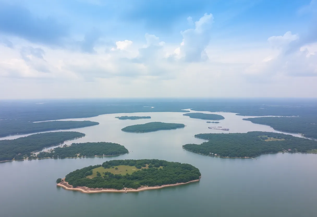
Austin, Texas – Rising more than 15 feet over the Fourth of July holiday weekend, Lake Travis reached a surface elevation of 653 feet, marking a significant increase caused by heavy rainfall in the region. As recorded by the Lower Colorado River Authority (LCRA) on Saturday afternoon, the lake’s level had risen from 637.56 feet at 4 a.m. to 653 feet by 4:20 p.m., indicating a surge of 15.44 feet. This trend is anticipated to continue as floodwaters from various tributaries flow into the lake.
Lake Travis is categorized as full when it reaches a surface elevation of 681 feet. The LCRA is currently carrying out flood operations to manage water levels across the Highland Lakes, which include Lake Buchanan and Lake Travis, essential drinking-water reservoirs in the area.
Recent heavy rainfall has severely impacted local waterways. The Guadalupe River and tributaries, including the Llano and Pedernales rivers, have been overwhelmed by floodwaters. As a result, the LCRA opened floodgates at Wirtz Dam and Starcke Dam to regulate the situation further. Some floodgates were expected to be closed on Saturday night, while Inks Dam experienced water passing over its spillway, although this subsided by mid-afternoon.
Due to the dangerous conditions created by the flooding and debris, the LCRA is urging residents to avoid boating or swimming in the Highland Lakes. John Hofmann, the LCRA’s executive vice president of water, cautioned that nighttime navigation poses further risks due to damaged navigational buoys. Additionally, the public should be wary of fast-moving river and stream flows and elevated bacteria levels following the flooding.
Amidst the extreme weather events, Burnet County officials have confirmed two fatalities and reported six individuals as missing. Travis County has also recorded four fatalities directly linked to the severe flooding. Rescue operations are ongoing throughout the affected areas, with over 50 rescues already carried out in Burnet County. Emergency management teams continue to monitor the situation, coordinating responses across various counties.
As flooding intensified, authorities in the City of Austin implemented a ban on all waterway usage, which will remain in effect until at least July 7 to ensure public safety. Residents living in mobile home parks near the San Gabriel River have been advised to evacuate due to the deteriorating conditions.
Flash flood warnings remain active for multiple central Texas counties, signaling that dangerous conditions persist. Emergency operations are under control in affected localities as officials work to address the ongoing situation and support those impacted by the recent floods.
The Highland Lakes, a series of reservoirs situated along the Colorado River upstream from Austin, play a critical role in flood control and hydroelectric power generation. These lakes, including smaller bodies of water such as Inks, LBJ, Marble Falls, and Austin, are managed to mitigate flood risks, offering both recreational and resource-based benefits to the surrounding communities.
As the weather forecast continues to be monitored, residents and visitors are encouraged to stay informed about the changing conditions and heed any directives from local authorities to ensure their safety during this challenging time.
Deeper Dive: News & Info About This Topic
HERE Resources
Additional Resources
- Austin American-Statesman
- Wikipedia: Flash Flood
- KVUE News
- Google Search: Austin Flood
- CBS Austin
- Google Scholar: Central Texas Flooding
- KXAN News
- Encyclopedia Britannica: Texas Flooding
- Hindustan Times
- Google News: Lake Travis Flood